Footpath to Batheaston
Introduction
The photograph on this page of Footpath to Batheaston by Derek Harper as part of the Geograph project.
The Geograph project started in 2005 with the aim of publishing, organising and preserving representative images for every square kilometre of Great Britain, Ireland and the Isle of Man.

There are currently over 7.5m images from over 14,400 individuals and you can help contribute to the project by visiting https://www.geograph.org.uk
Footpath to Batheaston
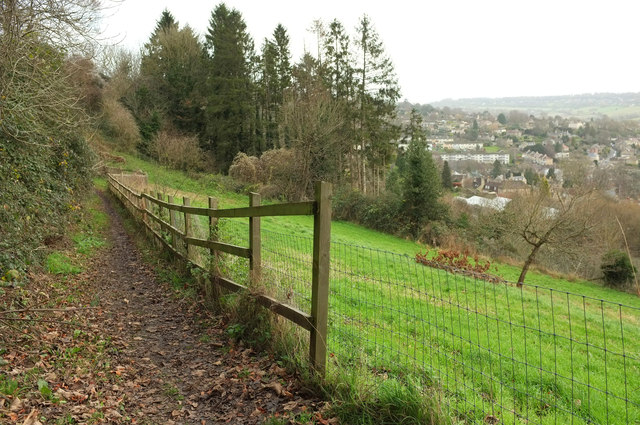
Image: © Derek Harper Taken: 8 Dec 2019
Footpath BA 2/6, shown crossing an open field in Image], is now right up against the belt of trees to which it has been running parallel for 600 metres. Down on the right is Batheaston.
Images are licensed for reuse under creativecommons.org/licenses/by-sa/2.0
Image Location
Latitude
51.405896
Longitude
-2.324718