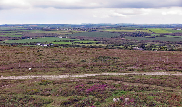
View north from Plumstone Rock
Introduction
The photograph on this page of View north from Plumstone Rock by Dylan Moore as part of the Geograph project.
The Geograph project started in 2005 with the aim of publishing, organising and preserving representative images for every square kilometre of Great Britain, Ireland and the Isle of Man.
There are currently over 7.5m images from over 14,400 individuals and you can help contribute to the project by visiting https://www.geograph.org.uk

Image: © Dylan Moore Taken: 9 Aug 2020
The patch of green beyond the moorland is Mountain Cott - with three farms today, but as many as seven in the 19th century. Beyond it in a wooded valley is Nant-y-coy Brook, which forms the northern boundary of Camrose and of the Hundred of Roose. It is also the traditional line of the Landsker, dividing the Welsh-speaking north of Pembrokeshire from the English-speaking south. However, during the 19th and 20th centuries the real linguistic boundary was to the south of Dudwell Mountain. Beyond the brook is the village of Hayscastle Cross. On the far horizon is Garn Fawr on the Pencaer peninsula, 16 km away.

