View to Meliden from the Offa's Dyke Path
Introduction
The photograph on this page of View to Meliden from the Offa's Dyke Path by Eirian Evans as part of the Geograph project.
The Geograph project started in 2005 with the aim of publishing, organising and preserving representative images for every square kilometre of Great Britain, Ireland and the Isle of Man.

There are currently over 7.5m images from over 14,400 individuals and you can help contribute to the project by visiting https://www.geograph.org.uk
View to Meliden from the Offa's Dyke Path
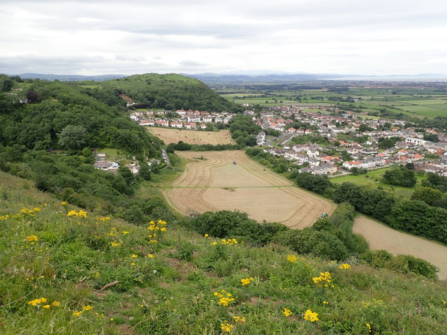
Image: © Eirian Evans Taken: 22 Jul 2020
Houses nestle below Graig Fawr, the furthest north of the Clwydian Range hill forts, while three tractors are cutting silage in the field
Images are licensed for reuse under creativecommons.org/licenses/by-sa/2.0
Image Location
Latitude
53.316306
Longitude
-3.404065