Central reservation of an abortive ring road
Introduction
The photograph on this page of Central reservation of an abortive ring road by Stephen Craven as part of the Geograph project.
The Geograph project started in 2005 with the aim of publishing, organising and preserving representative images for every square kilometre of Great Britain, Ireland and the Isle of Man.

There are currently over 7.5m images from over 14,400 individuals and you can help contribute to the project by visiting https://www.geograph.org.uk
Central reservation of an abortive ring road
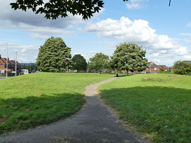
Image: © Stephen Craven Taken: 2 Aug 2020
The history of development here appear to be that when Belle Isle was first developed in the 1920s, a section of what was intended to be a dual carriageway ring road was built up to the city boundary a little way east of here. That never materialised and only the northern carriageway of the road now carries on over the former city boundary; the southern short section of what had been "Ring Road Middleton" is now named "Throstle Road North". The wide central reservation makes a pleasant traffic-free pedestrian route.
Images are licensed for reuse under creativecommons.org/licenses/by-sa/2.0
Image Location
Latitude
53.752104
Longitude
-1.524531