Footpath to Shipton under Wychwood
Introduction
The photograph on this page of Footpath to Shipton under Wychwood by Bill Boaden as part of the Geograph project.
The Geograph project started in 2005 with the aim of publishing, organising and preserving representative images for every square kilometre of Great Britain, Ireland and the Isle of Man.

There are currently over 7.5m images from over 14,400 individuals and you can help contribute to the project by visiting https://www.geograph.org.uk
Footpath to Shipton under Wychwood
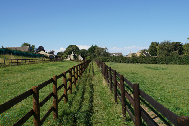
Image: © Bill Boaden Taken: 7 Aug 2020
The route of this path has been fenced off on both sides, perhaps to minimise contact with the horses which sometimes occupy the field.
Images are licensed for reuse under creativecommons.org/licenses/by-sa/2.0
Image Location
Latitude
51.855471
Longitude
-1.591667