No. 13 Bracken Bank Walk
Introduction
The photograph on this page of No. 13 Bracken Bank Walk by Roger Templeman as part of the Geograph project.
The Geograph project started in 2005 with the aim of publishing, organising and preserving representative images for every square kilometre of Great Britain, Ireland and the Isle of Man.

There are currently over 7.5m images from over 14,400 individuals and you can help contribute to the project by visiting https://www.geograph.org.uk
No. 13 Bracken Bank Walk
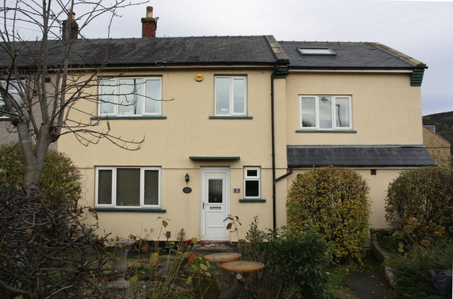
Image: © Roger Templeman Taken: 17 Nov 2017
Ordnance Survey documents indicate that in 1962 a benchmark levelled at 159.889m above Newlyn Datum was verified on the front right hand corner of the house which has since been rendered and extended on its right hand (south) face
Images are licensed for reuse under creativecommons.org/licenses/by-sa/2.0
Image Location
Latitude
53.846678
Longitude
-1.927462