Lane and bridleway North Cowton
Introduction
The photograph on this page of Lane and bridleway North Cowton by Gordon Hatton as part of the Geograph project.
The Geograph project started in 2005 with the aim of publishing, organising and preserving representative images for every square kilometre of Great Britain, Ireland and the Isle of Man.

There are currently over 7.5m images from over 14,400 individuals and you can help contribute to the project by visiting https://www.geograph.org.uk
Lane and bridleway North Cowton
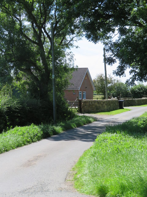
Image: © Gordon Hatton Taken: 8 Aug 2020
The lane is unnamed on maps, but the bridleway, which follows the same route is number 20.52/71, whilst the house is shown on the map as 'Clevelands'.
Images are licensed for reuse under creativecommons.org/licenses/by-sa/2.0
Image Location
Latitude
54.428978
Longitude
-1.577465