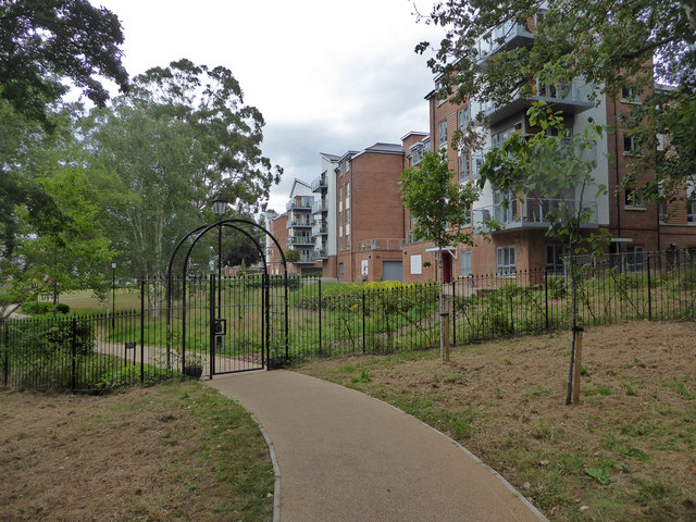
New development, Millbrook Lane, Exeter
Introduction
The photograph on this page of New development, Millbrook Lane, Exeter by Chris Allen as part of the Geograph project.
The Geograph project started in 2005 with the aim of publishing, organising and preserving representative images for every square kilometre of Great Britain, Ireland and the Isle of Man.
There are currently over 7.5m images from over 14,400 individuals and you can help contribute to the project by visiting https://www.geograph.org.uk

Image: © Chris Allen Taken: 4 Aug 2020
Seen from a path running alongside the boundary of the crematorium site and leading down to the former leat to the paper mill at Countess Wear. According to the map there is a public right of way along this row of buildings but it seems to be barred by this gate with a combination lock. A look at the Devon government website implies that the foot path no longer passes this way but passes to the left and along the leat. To be fair, it's a nicer walk but I do find it irritating that it was allowed to be apparently diverted.

