Grass bank and houses on NW side of Keighley Road
Introduction
The photograph on this page of Grass bank and houses on NW side of Keighley Road by Roger Templeman as part of the Geograph project.
The Geograph project started in 2005 with the aim of publishing, organising and preserving representative images for every square kilometre of Great Britain, Ireland and the Isle of Man.

There are currently over 7.5m images from over 14,400 individuals and you can help contribute to the project by visiting https://www.geograph.org.uk
Grass bank and houses on NW side of Keighley Road
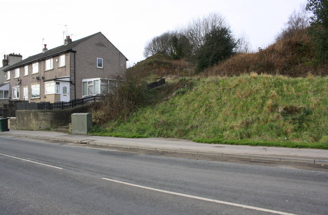
Image: © Roger Templeman Taken: 17 Nov 2017
There is as Ordnance Survey benchmark Image on rock beneath the grass of the bank about 12m to the right of steps of path on the near side of the houses, where the grass has been removed near the right hand edge of the image
Images are licensed for reuse under creativecommons.org/licenses/by-sa/2.0
Image Location
Latitude
53.851266
Longitude
-1.933687