Homewood Road URC
Introduction
The photograph on this page of Homewood Road URC by Ian Capper as part of the Geograph project.
The Geograph project started in 2005 with the aim of publishing, organising and preserving representative images for every square kilometre of Great Britain, Ireland and the Isle of Man.

There are currently over 7.5m images from over 14,400 individuals and you can help contribute to the project by visiting https://www.geograph.org.uk
Homewood Road URC
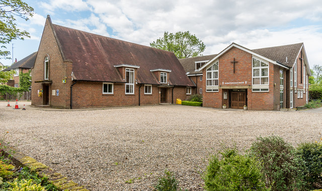
Image: © Ian Capper Taken: 1 May 2020
United Reformed Church situated at the corner of Homewood Road and Sandpit Lane. Originally a Presbyterian Church, before the formation of the URC in 1972, meetings started here in 1950, with the present building opened in 1964 and extended in 1990.
Images are licensed for reuse under creativecommons.org/licenses/by-sa/2.0
Image Location
Latitude
51.759652
Longitude
-0.311782