Un-signed bifurcation near Great Bardfield
Introduction
The photograph on this page of Un-signed bifurcation near Great Bardfield by David Kemp as part of the Geograph project.
The Geograph project started in 2005 with the aim of publishing, organising and preserving representative images for every square kilometre of Great Britain, Ireland and the Isle of Man.

There are currently over 7.5m images from over 14,400 individuals and you can help contribute to the project by visiting https://www.geograph.org.uk
Un-signed bifurcation near Great Bardfield
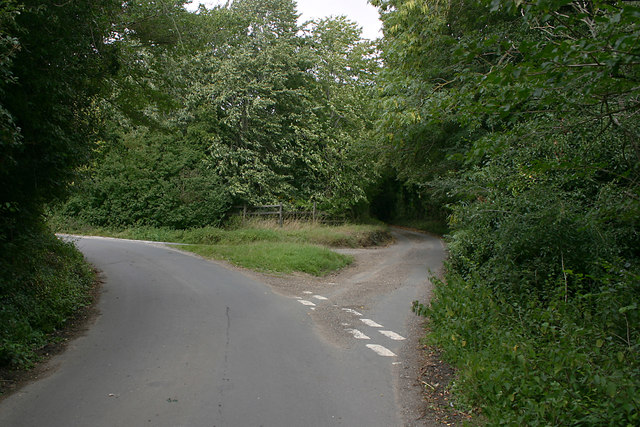
Image: © David Kemp Taken: 4 Aug 2020
The sign here must have disappeared quite recently as Google Streetview still shows one. Taken in the lane from Shalford. The other two lanes go to Great Bardfield (left) and Wethersfield (right).
Images are licensed for reuse under creativecommons.org/licenses/by-sa/2.0
Image Location
Latitude
51.944192
Longitude
0.473975