Old Boundary Marker
Introduction
The photograph on this page of Old Boundary Marker by Anna-Maria Cahalane as part of the Geograph project.
The Geograph project started in 2005 with the aim of publishing, organising and preserving representative images for every square kilometre of Great Britain, Ireland and the Isle of Man.

There are currently over 7.5m images from over 14,400 individuals and you can help contribute to the project by visiting https://www.geograph.org.uk
Old Boundary Marker
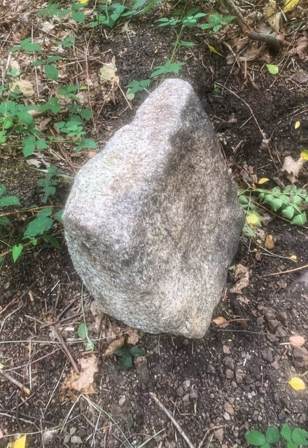
Image: © Anna-Maria Cahalane Taken: 2 Aug 2020
Railway Boundary Marker in Buckthorne Cutting Nature Reserve beside the line of the former London, Brighton and South Coast Railway. Access from Eddystone Road Footbridge, Eddystone Road, Brockley SE4 2DE, see https://www.fourthreserve.org.uk/. No inscription. Milestone Society National ID: KE_LBSCR01em
Images are licensed for reuse under creativecommons.org/licenses/by-sa/2.0
Image Location
Latitude
51.456692
Longitude
-0.039908