Triss?s Pond, Bushy Park
Introduction
The photograph on this page of Triss?s Pond, Bushy Park by Sean Davis as part of the Geograph project.
The Geograph project started in 2005 with the aim of publishing, organising and preserving representative images for every square kilometre of Great Britain, Ireland and the Isle of Man.

There are currently over 7.5m images from over 14,400 individuals and you can help contribute to the project by visiting https://www.geograph.org.uk
Triss?s Pond, Bushy Park
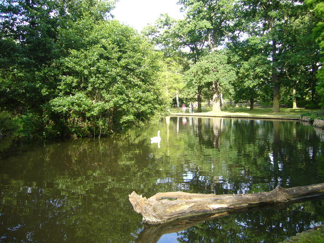
Image: © Sean Davis Taken: 29 Jun 2008
This is in the Woodland Gardens and was created by Joseph Fisher, park superintendent from late 1940s to late 1960s. It is named after his daughter. It is on the route of the London LOOP and the London Green Belt Way.
Images are licensed for reuse under creativecommons.org/licenses/by-sa/2.0
Image Location
Latitude
51.41383
Longitude
-0.341434