Balancing pond at i54 development
Introduction
The photograph on this page of Balancing pond at i54 development by John M as part of the Geograph project.
The Geograph project started in 2005 with the aim of publishing, organising and preserving representative images for every square kilometre of Great Britain, Ireland and the Isle of Man.

There are currently over 7.5m images from over 14,400 individuals and you can help contribute to the project by visiting https://www.geograph.org.uk
Balancing pond at i54 development
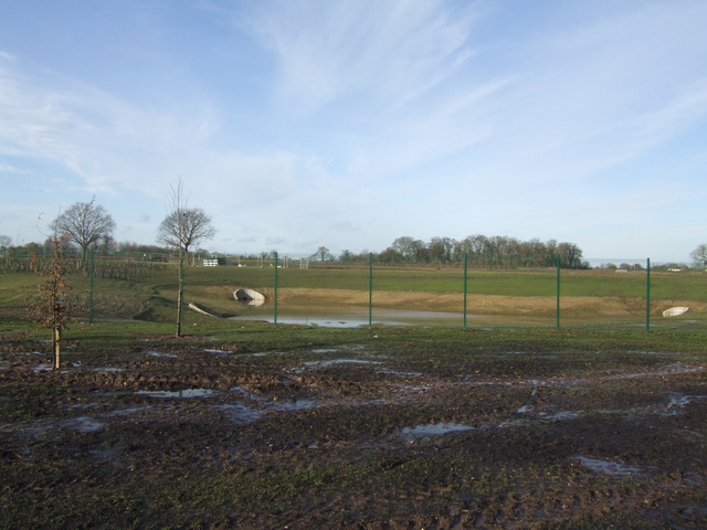
Image: © John M Taken: 12 Jan 2008
The site has been transformed by the preparation works.
Images are licensed for reuse under creativecommons.org/licenses/by-sa/2.0
Image Location
Latitude
52.630704
Longitude
-2.137804