Bridleway 10_69
Introduction
The photograph on this page of Bridleway 10_69 by Glyn Baker as part of the Geograph project.
The Geograph project started in 2005 with the aim of publishing, organising and preserving representative images for every square kilometre of Great Britain, Ireland and the Isle of Man.

There are currently over 7.5m images from over 14,400 individuals and you can help contribute to the project by visiting https://www.geograph.org.uk
Bridleway 10_69
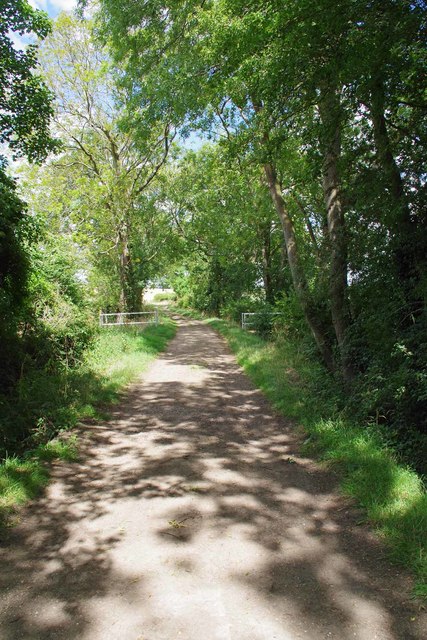
Image: © Glyn Baker Taken: 2 Aug 2020
Footpath 10_27 crosses the bridleway thanks to a brace of footbridges over ditches that drain into the River Stort.
Images are licensed for reuse under creativecommons.org/licenses/by-sa/2.0
Image Location


Leaflet Map data © OpenStreetMap
Latitude
51.967401
Longitude
0.113624