Towards Totnes
Introduction
The photograph on this page of Towards Totnes by Derek Harper as part of the Geograph project.
The Geograph project started in 2005 with the aim of publishing, organising and preserving representative images for every square kilometre of Great Britain, Ireland and the Isle of Man.

There are currently over 7.5m images from over 14,400 individuals and you can help contribute to the project by visiting https://www.geograph.org.uk
Towards Totnes
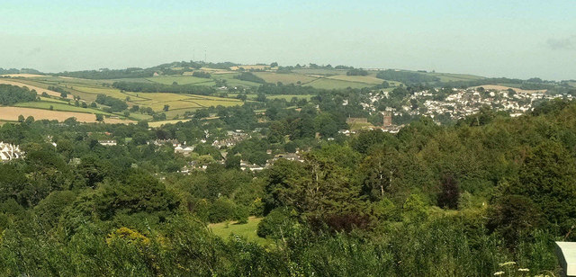
Image: © Derek Harper Taken: 30 Jul 2020
Looking right from Image], across the grounds of Follaton House. The castle and church at Totnes can be seen.
Images are licensed for reuse under creativecommons.org/licenses/by-sa/2.0
Image Location
Latitude
50.430907
Longitude
-3.707806