Garthorpe village sign
Introduction
The photograph on this page of Garthorpe village sign by Graham Hogg as part of the Geograph project.
The Geograph project started in 2005 with the aim of publishing, organising and preserving representative images for every square kilometre of Great Britain, Ireland and the Isle of Man.

There are currently over 7.5m images from over 14,400 individuals and you can help contribute to the project by visiting https://www.geograph.org.uk
Garthorpe village sign
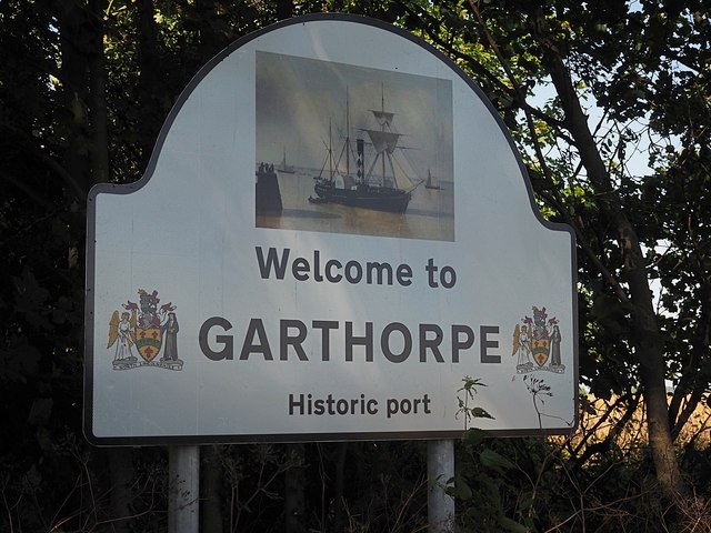
Image: © Graham Hogg Taken: 31 Jul 2020
The sign shows a sailing ship and describes the village as an 'Historic port'. This dates back to the 17th century when the village lay on the east bank of the River Don.
Images are licensed for reuse under creativecommons.org/licenses/by-sa/2.0
Image Location


Leaflet Map data © OpenStreetMap
Latitude
53.663899
Longitude
-0.71373