Acer Close, The Rock
Introduction
The photograph on this page of Acer Close, The Rock by Richard Law as part of the Geograph project.
The Geograph project started in 2005 with the aim of publishing, organising and preserving representative images for every square kilometre of Great Britain, Ireland and the Isle of Man.

There are currently over 7.5m images from over 14,400 individuals and you can help contribute to the project by visiting https://www.geograph.org.uk
Acer Close, The Rock
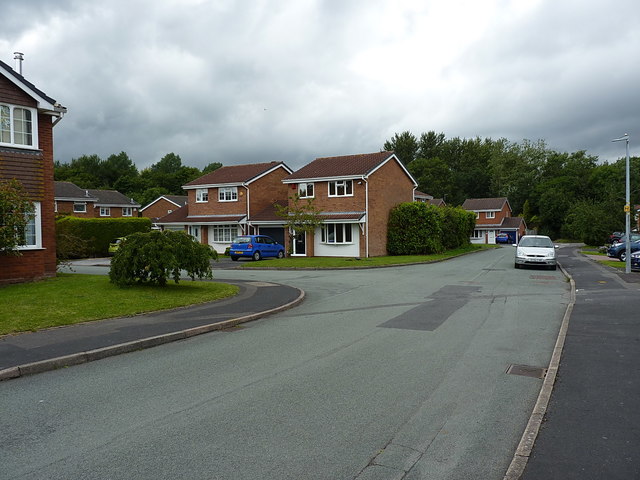
Image: © Richard Law Taken: 1 Aug 2020
A 1980s housing development in The Rock area of Telford
Images are licensed for reuse under creativecommons.org/licenses/by-sa/2.0
Image Location
Latitude
52.682722
Longitude
-2.467391