Railway line
Introduction
The photograph on this page of Railway line by Alan Hughes as part of the Geograph project.
The Geograph project started in 2005 with the aim of publishing, organising and preserving representative images for every square kilometre of Great Britain, Ireland and the Isle of Man.

There are currently over 7.5m images from over 14,400 individuals and you can help contribute to the project by visiting https://www.geograph.org.uk
Railway line
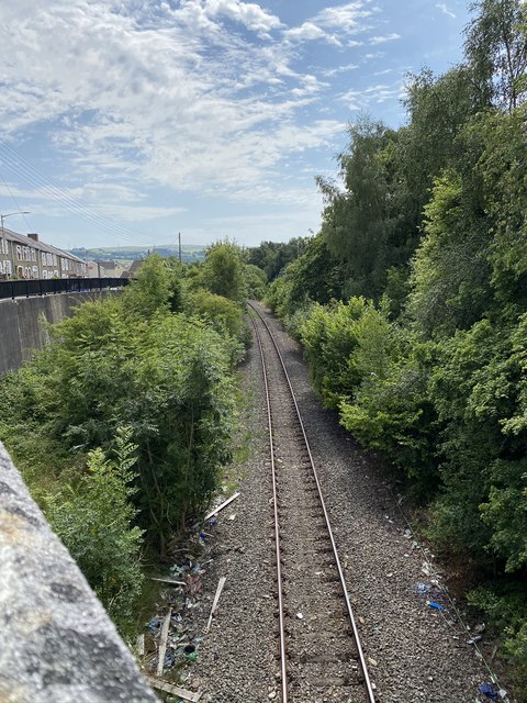
Image: © Alan Hughes Taken: 31 Jul 2020
Mineral line used to transport coal from the opencast site at Ffos y Fran to Aberthaw power station.
Images are licensed for reuse under creativecommons.org/licenses/by-sa/2.0
Image Location
Latitude
51.661787
Longitude
-3.291891