Shelter belt at Johnscleugh
Introduction
The photograph on this page of Shelter belt at Johnscleugh by M J Richardson as part of the Geograph project.
The Geograph project started in 2005 with the aim of publishing, organising and preserving representative images for every square kilometre of Great Britain, Ireland and the Isle of Man.

There are currently over 7.5m images from over 14,400 individuals and you can help contribute to the project by visiting https://www.geograph.org.uk
Shelter belt at Johnscleugh
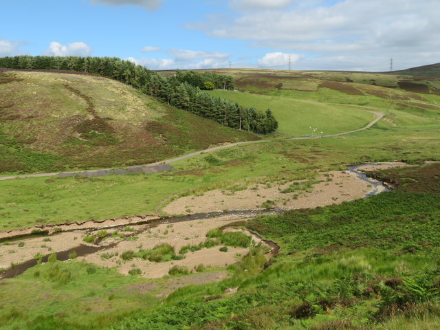
Image: © M J Richardson Taken: 29 Jul 2020
The farm is sheltered behind the trees. Note the signs of the Whiteadder Water meandering when it is in spate.
Images are licensed for reuse under creativecommons.org/licenses/by-sa/2.0
Image Location


Leaflet Map data © OpenStreetMap
Latitude
55.889219
Longitude
-2.592644