Bramfield : shelter
Introduction
The photograph on this page of Bramfield : shelter by Jim Osley as part of the Geograph project.
The Geograph project started in 2005 with the aim of publishing, organising and preserving representative images for every square kilometre of Great Britain, Ireland and the Isle of Man.

There are currently over 7.5m images from over 14,400 individuals and you can help contribute to the project by visiting https://www.geograph.org.uk
Bramfield : shelter
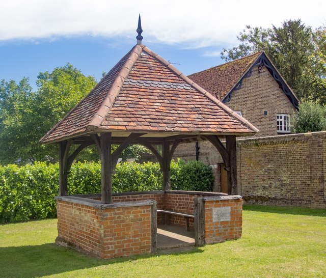
Image: © Jim Osley Taken: 30 Jul 2020
Grade II listed former well house converted to a shelter in 1953. More at this https://historicengland.org.uk/listing/the-list/list-entry/1051610.
Images are licensed for reuse under creativecommons.org/licenses/by-sa/2.0
Image Location
Latitude
51.824437
Longitude
-0.125839