Llethr ger Caehopkin / Hillside near Caehopkin
Introduction
The photograph on this page of Llethr ger Caehopkin / Hillside near Caehopkin by Alan Richards as part of the Geograph project.
The Geograph project started in 2005 with the aim of publishing, organising and preserving representative images for every square kilometre of Great Britain, Ireland and the Isle of Man.

There are currently over 7.5m images from over 14,400 individuals and you can help contribute to the project by visiting https://www.geograph.org.uk
Llethr ger Caehopkin / Hillside near Caehopkin
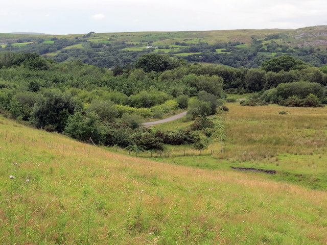
Image: © Alan Richards Taken: 29 Jul 2020
Edrych i lawr ar lwybr beicio ger Caehopkin. Looking down on a cycle path near Caehopkin (trans. Hopkin's field).
Images are licensed for reuse under creativecommons.org/licenses/by-sa/2.0
Image Location


Leaflet Map data © OpenStreetMap
Latitude
51.793472
Longitude
-3.704424