Benchmark on Little Musgrave Farm
Introduction
The photograph on this page of Benchmark on Little Musgrave Farm by Roger Templeman as part of the Geograph project.
The Geograph project started in 2005 with the aim of publishing, organising and preserving representative images for every square kilometre of Great Britain, Ireland and the Isle of Man.

There are currently over 7.5m images from over 14,400 individuals and you can help contribute to the project by visiting https://www.geograph.org.uk
Benchmark on Little Musgrave Farm
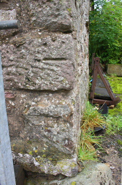
Image: © Roger Templeman Taken: 5 Sep 2017
Ordnance Survey cut mark benchmark described on the Bench Mark Database at www.bench-marks.org.uk/bm88157 It seems likely that the stone has been moved because the benchmark is inverted and its location does not match that verified by the Ordnance Survey in 1955.
Images are licensed for reuse under creativecommons.org/licenses/by-sa/2.0
Image Location
Latitude
54.513076
Longitude
-2.3736