Boardwalks by the Tweed
Introduction
The photograph on this page of Boardwalks by the Tweed by Jim Barton as part of the Geograph project.
The Geograph project started in 2005 with the aim of publishing, organising and preserving representative images for every square kilometre of Great Britain, Ireland and the Isle of Man.

There are currently over 7.5m images from over 14,400 individuals and you can help contribute to the project by visiting https://www.geograph.org.uk
Boardwalks by the Tweed
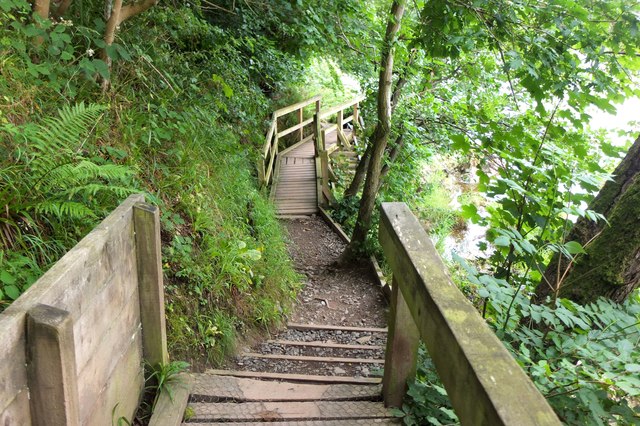
Image: © Jim Barton Taken: 24 Jul 2020
Where the riverside path and Borders Abbeys Way negotiates a steep bank south of the Redbridge Viaduct.
Images are licensed for reuse under creativecommons.org/licenses/by-sa/2.0
Image Location
Latitude
55.605907
Longitude
-2.771693