Station Road, Lower Heyford
Introduction
The photograph on this page of Station Road, Lower Heyford by Stephen McKay as part of the Geograph project.
The Geograph project started in 2005 with the aim of publishing, organising and preserving representative images for every square kilometre of Great Britain, Ireland and the Isle of Man.

There are currently over 7.5m images from over 14,400 individuals and you can help contribute to the project by visiting https://www.geograph.org.uk
Station Road, Lower Heyford
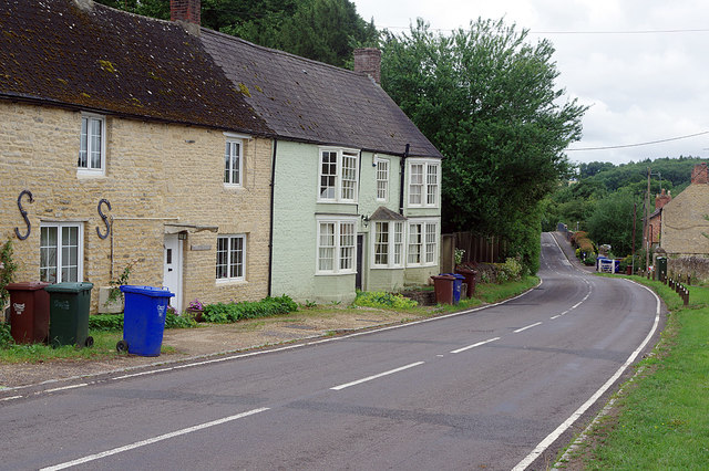
Image: © Stephen McKay Taken: 8 Jul 2020
Looking down the B4030 between Lower Heyford village and the Oxford Canal and the railway station.
Images are licensed for reuse under creativecommons.org/licenses/by-sa/2.0
Image Location
Latitude
51.918277
Longitude
-1.297103