Old Boundary Marker
Introduction
The photograph on this page of Old Boundary Marker by S Kosciow as part of the Geograph project.
The Geograph project started in 2005 with the aim of publishing, organising and preserving representative images for every square kilometre of Great Britain, Ireland and the Isle of Man.

There are currently over 7.5m images from over 14,400 individuals and you can help contribute to the project by visiting https://www.geograph.org.uk
Old Boundary Marker
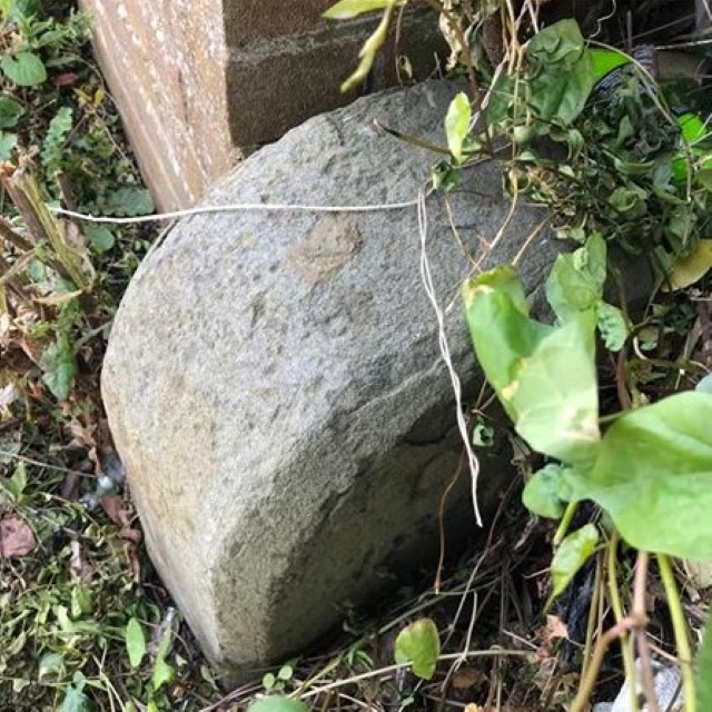
Image: © S Kosciow Taken: 26 May 2020
Municipal Boundary Marker at the end of a brick wall beside the drive to 136 Woodland Way, on the south side of the road. On the boundary of City of Bristol unitary authority and Mangotsfield parish, now with South Gloucestershire unitary authority. Inscribed CB / 18? Milestone Society National ID: GL_BSMAN02pb
Images are licensed for reuse under creativecommons.org/licenses/by-sa/2.0
Image Location
Latitude
51.471608
Longitude
-2.510867