Canal basin, Port Dundas
Introduction
The photograph on this page of Canal basin, Port Dundas by Richard Sutcliffe as part of the Geograph project.
The Geograph project started in 2005 with the aim of publishing, organising and preserving representative images for every square kilometre of Great Britain, Ireland and the Isle of Man.

There are currently over 7.5m images from over 14,400 individuals and you can help contribute to the project by visiting https://www.geograph.org.uk
Canal basin, Port Dundas
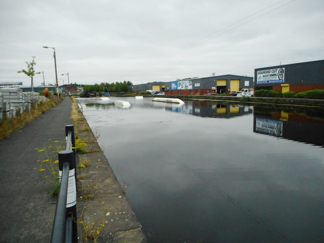
Image: © Richard Sutcliffe Taken: 24 Jul 2020
Port Dundas was the terminus of the Glasgow branch of the Forth and Clyde Canal. It is a Scheduled Monument http://portal.historicenvironment.scot/designation/SM6689. The basin is now used for water sports.
Images are licensed for reuse under creativecommons.org/licenses/by-sa/2.0
Image Location
Latitude
55.871557
Longitude
-4.252638