Open space by the Northbrook
Introduction
The photograph on this page of Open space by the Northbrook by Derek Harper as part of the Geograph project.
The Geograph project started in 2005 with the aim of publishing, organising and preserving representative images for every square kilometre of Great Britain, Ireland and the Isle of Man.

There are currently over 7.5m images from over 14,400 individuals and you can help contribute to the project by visiting https://www.geograph.org.uk
Open space by the Northbrook
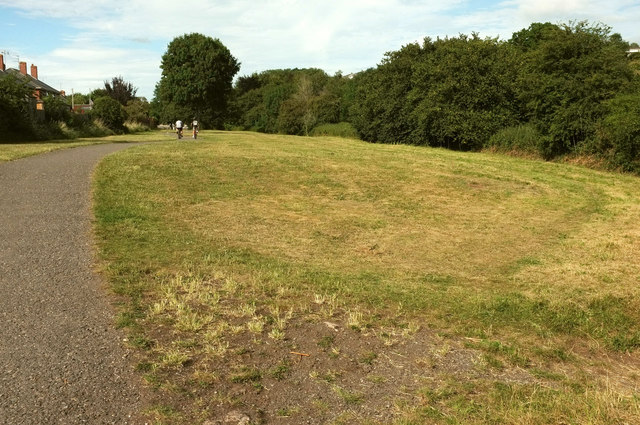
Image: © Derek Harper Taken: 18 Jul 2020
The path, from Ludwell Lane, follows a narrow strip of open space between houses on Ivy Close on the left, and the stream on the right.
Images are licensed for reuse under creativecommons.org/licenses/by-sa/2.0
Image Location


Leaflet Map data © OpenStreetMap
Latitude
50.714155
Longitude
-3.495691