Carver's Hollow
Introduction
The photograph on this page of Carver's Hollow by Alan Murray-Rust as part of the Geograph project.
The Geograph project started in 2005 with the aim of publishing, organising and preserving representative images for every square kilometre of Great Britain, Ireland and the Isle of Man.

There are currently over 7.5m images from over 14,400 individuals and you can help contribute to the project by visiting https://www.geograph.org.uk
Carver's Hollow
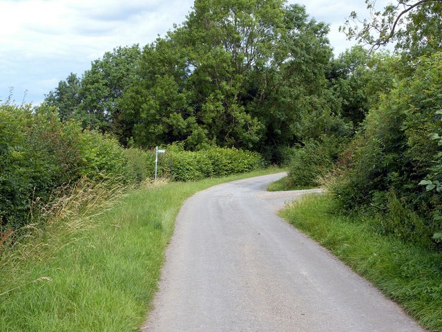
Image: © Alan Murray-Rust Taken: 21 Jul 2020
Public road giving access to the Turncroft farms. At this point forming part of the Robin Hood Way which turns right along the byway at the junction.
Images are licensed for reuse under creativecommons.org/licenses/by-sa/2.0
Image Location
Latitude
53.085083
Longitude
-1.026377