Lambleys Lane, Sompting
Introduction
The photograph on this page of Lambleys Lane, Sompting by Simon Carey as part of the Geograph project.
The Geograph project started in 2005 with the aim of publishing, organising and preserving representative images for every square kilometre of Great Britain, Ireland and the Isle of Man.

There are currently over 7.5m images from over 14,400 individuals and you can help contribute to the project by visiting https://www.geograph.org.uk
Lambleys Lane, Sompting
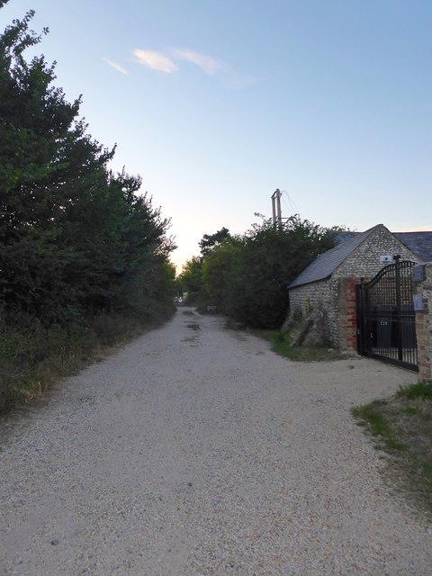
Image: © Simon Carey Taken: 22 Jul 2020
Viewed from the junction with Upper Brighton Road and now no longer use due to the construction of the Sompting By-Pass where the lane is now accessed from.
Images are licensed for reuse under creativecommons.org/licenses/by-sa/2.0
Image Location
Latitude
50.834973
Longitude
-0.359467