The Templars, Broadwater, Worthing
Introduction
The photograph on this page of The Templars, Broadwater, Worthing by Simon Carey as part of the Geograph project.
The Geograph project started in 2005 with the aim of publishing, organising and preserving representative images for every square kilometre of Great Britain, Ireland and the Isle of Man.

There are currently over 7.5m images from over 14,400 individuals and you can help contribute to the project by visiting https://www.geograph.org.uk
The Templars, Broadwater, Worthing
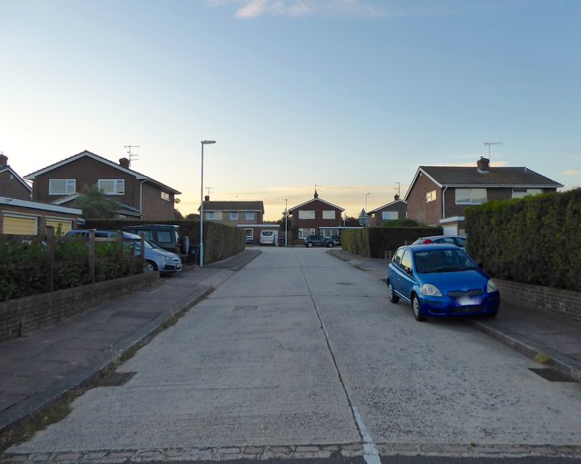
Image: © Simon Carey Taken: 22 Jul 2020
A cul de sac off Upper Brighton Road that was built in the 1960s on the site of a former Territorial Army Centre. The Knights Templars owned Sompting Parish from 1154-1307.
Images are licensed for reuse under creativecommons.org/licenses/by-sa/2.0
Image Location
Latitude
50.83438
Longitude
-0.362044