The Old School House, High Hoyland
Introduction
The photograph on this page of The Old School House, High Hoyland by Humphrey Bolton as part of the Geograph project.
The Geograph project started in 2005 with the aim of publishing, organising and preserving representative images for every square kilometre of Great Britain, Ireland and the Isle of Man.

There are currently over 7.5m images from over 14,400 individuals and you can help contribute to the project by visiting https://www.geograph.org.uk
The Old School House, High Hoyland
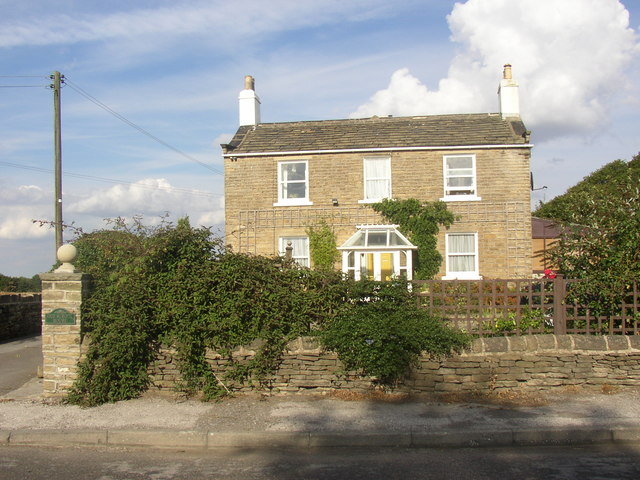
Image: © Humphrey Bolton Taken: 7 Sep 2003
Captioned 'National School' on the 1850 map. I think the school was in a wing behind the school house. It seems odd that it is sited at the very edge of High Hoyland township, but was probably also intended to serve Clayton West, which was in the bparish of High Hoyland at that time.
Images are licensed for reuse under creativecommons.org/licenses/by-sa/2.0
Image Location
Latitude
53.586278
Longitude
-1.600412