Woodbridge Lawn, Kirkstall
Introduction
The photograph on this page of Woodbridge Lawn, Kirkstall by Stephen Craven as part of the Geograph project.
The Geograph project started in 2005 with the aim of publishing, organising and preserving representative images for every square kilometre of Great Britain, Ireland and the Isle of Man.

There are currently over 7.5m images from over 14,400 individuals and you can help contribute to the project by visiting https://www.geograph.org.uk
Woodbridge Lawn, Kirkstall
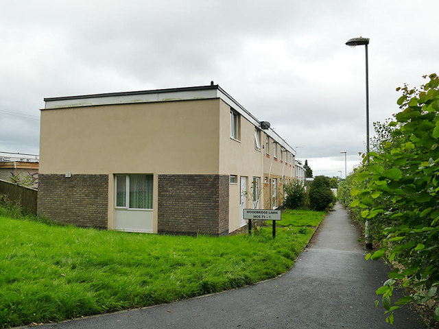
Image: © Stephen Craven Taken: 23 Jul 2020
The word "lawn" is used locally in Leeds as a street name suffix, without necessarily reference to any grassed areas. According to a document on the Leeds Council website, the Woodbridge estate was built in the 1950s to a prefabricated design known as "5M".
Images are licensed for reuse under creativecommons.org/licenses/by-sa/2.0
Image Location
Latitude
53.822311
Longitude
-1.601514