Brock Bowling Club
Introduction
The photograph on this page of Brock Bowling Club by Lairich Rig as part of the Geograph project.
The Geograph project started in 2005 with the aim of publishing, organising and preserving representative images for every square kilometre of Great Britain, Ireland and the Isle of Man.

There are currently over 7.5m images from over 14,400 individuals and you can help contribute to the project by visiting https://www.geograph.org.uk
Brock Bowling Club
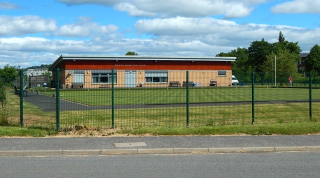
Image: © Lairich Rig Taken: 3 Jun 2020
An earlier view: Image The Brock family were also remembered in the name of the Brock Baths, which stood where Image is now.
Images are licensed for reuse under creativecommons.org/licenses/by-sa/2.0
Image Location
Latitude
55.948372
Longitude
-4.566394