Track through wall east of Moor Barton
Introduction
The photograph on this page of Track through wall east of Moor Barton by Derek Harper as part of the Geograph project.
The Geograph project started in 2005 with the aim of publishing, organising and preserving representative images for every square kilometre of Great Britain, Ireland and the Isle of Man.

There are currently over 7.5m images from over 14,400 individuals and you can help contribute to the project by visiting https://www.geograph.org.uk
Track through wall east of Moor Barton
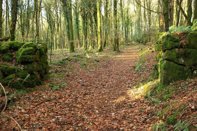
Image: © Derek Harper Taken: 3 Dec 2019
One of several old field boundaries in the extensive plantations. Here the path crosses the 300 metre contour.
Images are licensed for reuse under creativecommons.org/licenses/by-sa/2.0
Image Location
Latitude
50.65003
Longitude
-3.71758