Bridleway through Rhydd Covert
Introduction
The photograph on this page of Bridleway through Rhydd Covert by Mat Fascione as part of the Geograph project.
The Geograph project started in 2005 with the aim of publishing, organising and preserving representative images for every square kilometre of Great Britain, Ireland and the Isle of Man.

There are currently over 7.5m images from over 14,400 individuals and you can help contribute to the project by visiting https://www.geograph.org.uk
Bridleway through Rhydd Covert
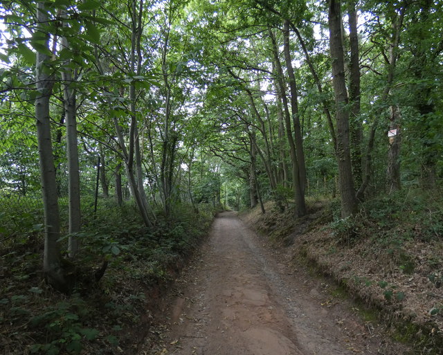
Image: © Mat Fascione Taken: 17 Jul 2020
Running down the eastern side of the West Midlands Safari Park.
Images are licensed for reuse under creativecommons.org/licenses/by-sa/2.0
Image Location
Latitude
52.379082
Longitude
-2.285393