Barkisland Mill Bridge
Introduction
The photograph on this page of Barkisland Mill Bridge by John Illingworth as part of the Geograph project.
The Geograph project started in 2005 with the aim of publishing, organising and preserving representative images for every square kilometre of Great Britain, Ireland and the Isle of Man.

There are currently over 7.5m images from over 14,400 individuals and you can help contribute to the project by visiting https://www.geograph.org.uk
Barkisland Mill Bridge
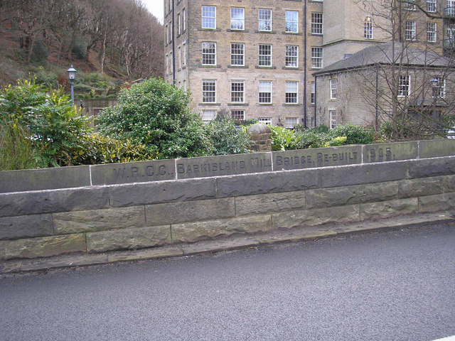
Image: © John Illingworth Taken: 9 Jan 2008
As the inscription says, rebuilt by the West Riding County Council in 1905. Barkisland Mill in the background.
Images are licensed for reuse under creativecommons.org/licenses/by-sa/2.0
Image Location


Leaflet Map data © OpenStreetMap
Latitude
53.674809
Longitude
-1.900963