Direction Sign ? Signpost
Introduction
The photograph on this page of Direction Sign ? Signpost by T Comber as part of the Geograph project.
The Geograph project started in 2005 with the aim of publishing, organising and preserving representative images for every square kilometre of Great Britain, Ireland and the Isle of Man.

There are currently over 7.5m images from over 14,400 individuals and you can help contribute to the project by visiting https://www.geograph.org.uk
Direction Sign ? Signpost
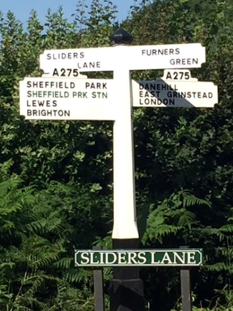
Image: © T Comber Taken: 26 Jul 2019
Located on the northwest side of the crossroads of Slider's Lane and the A275 Lewes Road in Danehill parish. 4 arms and black iron cap finial. For and older photo see https://www.geograph.org.uk/photo/6038897. Milestone Society National ID: SX_TQ4026B
Images are licensed for reuse under creativecommons.org/licenses/by-sa/2.0
Image Location


Leaflet Map data © OpenStreetMap
Latitude
51.017318
Longitude
0.005823