Battlesbury Hill, Wiltshire
Introduction
The photograph on this page of Battlesbury Hill, Wiltshire by Rebecca A Wills as part of the Geograph project.
The Geograph project started in 2005 with the aim of publishing, organising and preserving representative images for every square kilometre of Great Britain, Ireland and the Isle of Man.

There are currently over 7.5m images from over 14,400 individuals and you can help contribute to the project by visiting https://www.geograph.org.uk
Battlesbury Hill, Wiltshire
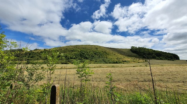
Image: © Rebecca A Wills Taken: 18 Jul 2020
Looking east towards Battlesbury Hill from the vicintiy of the MoD Warminster Training Centre. Battlesbury Camp is located on the top 0f the hill and is an Iron Age bivallate hill fort.
Images are licensed for reuse under creativecommons.org/licenses/by-sa/2.0
Image Location
Latitude
51.210674
Longitude
-2.153558