Wiggins Lane, Ham
Introduction
The photograph on this page of Wiggins Lane, Ham by David Howard as part of the Geograph project.
The Geograph project started in 2005 with the aim of publishing, organising and preserving representative images for every square kilometre of Great Britain, Ireland and the Isle of Man.

There are currently over 7.5m images from over 14,400 individuals and you can help contribute to the project by visiting https://www.geograph.org.uk
Wiggins Lane, Ham
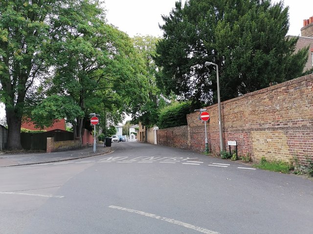
Image: © David Howard Taken: 16 Jul 2020
This was called Back Lane till the 90s when it was changed as you can't get to the rest of Back Lane from here any more so wasn't part of it in practice.
Images are licensed for reuse under creativecommons.org/licenses/by-sa/2.0
Image Location
Latitude
51.439282
Longitude
-0.314599