Barley field on north side of Highfields Lane
Introduction
The photograph on this page of Barley field on north side of Highfields Lane by Trevor Littlewood as part of the Geograph project.
The Geograph project started in 2005 with the aim of publishing, organising and preserving representative images for every square kilometre of Great Britain, Ireland and the Isle of Man.

There are currently over 7.5m images from over 14,400 individuals and you can help contribute to the project by visiting https://www.geograph.org.uk
Barley field on north side of Highfields Lane
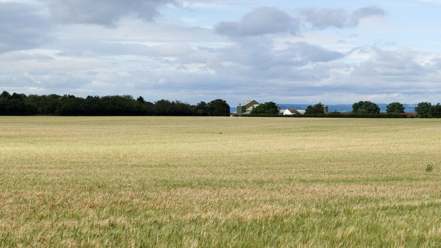
Image: © Trevor Littlewood Taken: 16 Jul 2020
This is close to the airfield at Dishforth; it lies to the north, beyond the trees at the left side of the image. The buildings seen between the trees are at North Hill Farm.
Images are licensed for reuse under creativecommons.org/licenses/by-sa/2.0
Image Location
Latitude
54.128448
Longitude
-1.408067