Footpath 81W, Maidenbower
Introduction
The photograph on this page of Footpath 81W, Maidenbower by Robin Webster as part of the Geograph project.
The Geograph project started in 2005 with the aim of publishing, organising and preserving representative images for every square kilometre of Great Britain, Ireland and the Isle of Man.

There are currently over 7.5m images from over 14,400 individuals and you can help contribute to the project by visiting https://www.geograph.org.uk
Footpath 81W, Maidenbower
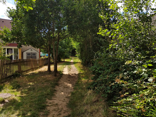
Image: © Robin Webster Taken: 11 Jul 2020
Between the back fences of Maidenbower, following approximately the course of a former track to and past the former Forest Farm. Both of these have been obliterated under the Maidenbower development.
Images are licensed for reuse under creativecommons.org/licenses/by-sa/2.0
Image Location
Latitude
51.099347
Longitude
-0.153026