Bus stop and shelter, Kegworth Road, Kingston on Soar
Introduction
The photograph on this page of Bus stop and shelter, Kegworth Road, Kingston on Soar by Richard Vince as part of the Geograph project.
The Geograph project started in 2005 with the aim of publishing, organising and preserving representative images for every square kilometre of Great Britain, Ireland and the Isle of Man.

There are currently over 7.5m images from over 14,400 individuals and you can help contribute to the project by visiting https://www.geograph.org.uk
Bus stop and shelter, Kegworth Road, Kingston on Soar
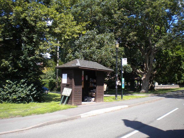
Image: © Richard Vince Taken: 11 Jul 2020
Currently served by a fairly infrequent service between Normanton on Soar and Clifton estate (on the southern edge of Nottingham). The shelter appeared to be being used as some form of community library.
Images are licensed for reuse under creativecommons.org/licenses/by-sa/2.0
Image Location
Latitude
52.844573
Longitude
-1.257299