Houses and wheelie bins on north side of Humber Avenue
Introduction
The photograph on this page of Houses and wheelie bins on north side of Humber Avenue by Roger Templeman as part of the Geograph project.
The Geograph project started in 2005 with the aim of publishing, organising and preserving representative images for every square kilometre of Great Britain, Ireland and the Isle of Man.

There are currently over 7.5m images from over 14,400 individuals and you can help contribute to the project by visiting https://www.geograph.org.uk
Houses and wheelie bins on north side of Humber Avenue
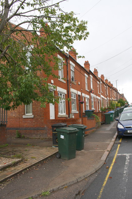
Image: © Roger Templeman Taken: 8 Aug 2017
Ordnance Survey documents indicate that in 1959 a benchmark levelled at 75.383m above Newlyn Datum was verified on the wall fronting the nearest house (#184). The wall appears to have been rebuilt
Images are licensed for reuse under creativecommons.org/licenses/by-sa/2.0
Image Location
Latitude
52.402891
Longitude
-1.49477