Northern end of Wilden Pool
Introduction
The photograph on this page of Northern end of Wilden Pool by P L Chadwick as part of the Geograph project.
The Geograph project started in 2005 with the aim of publishing, organising and preserving representative images for every square kilometre of Great Britain, Ireland and the Isle of Man.

There are currently over 7.5m images from over 14,400 individuals and you can help contribute to the project by visiting https://www.geograph.org.uk
Northern end of Wilden Pool
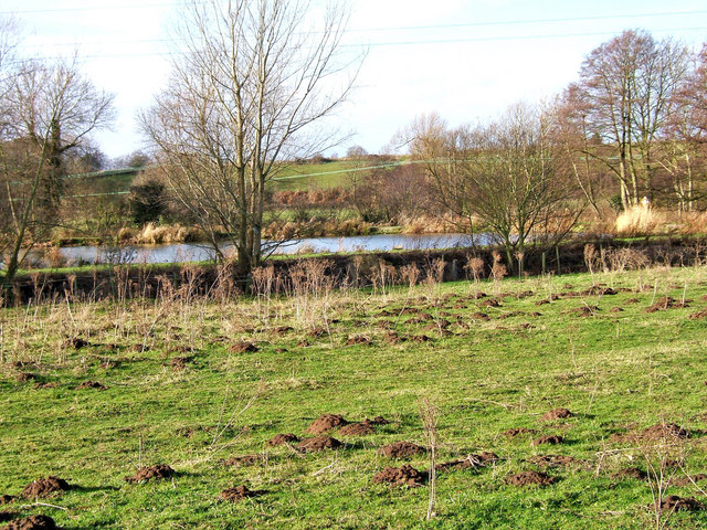
Image: © P L Chadwick Taken: 9 Jan 2008
Wilden pool is a moderate sized pool or lake. On private land to which the public has no access rights, the pool is used for fishing. This view shows the top (northern) end and was photographed from the public right of way along the track running from Wilden to Oldington Bridge on the Staffs & Worcs Canal.
Images are licensed for reuse under creativecommons.org/licenses/by-sa/2.0
Image Location
Latitude
52.355221
Longitude
-2.262334