The path turns across the Barton Brook
Introduction
The photograph on this page of The path turns across the Barton Brook by Neil Owen as part of the Geograph project.
The Geograph project started in 2005 with the aim of publishing, organising and preserving representative images for every square kilometre of Great Britain, Ireland and the Isle of Man.

There are currently over 7.5m images from over 14,400 individuals and you can help contribute to the project by visiting https://www.geograph.org.uk
The path turns across the Barton Brook
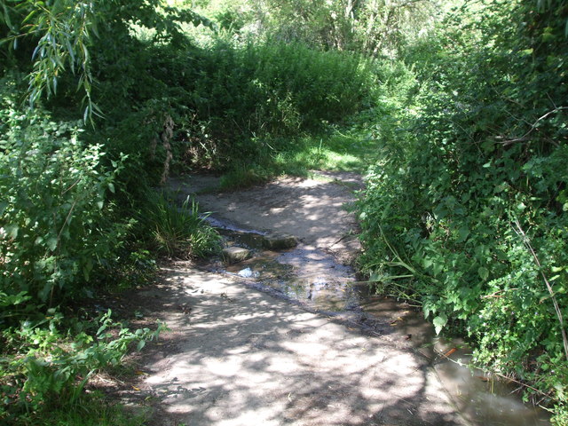
Image: © Neil Owen Taken: 12 Jul 2020
Marked as a public highway, this track turns east from north and goes over a small brook.
Images are licensed for reuse under creativecommons.org/licenses/by-sa/2.0
Image Location


Leaflet Map data © OpenStreetMap
Latitude
51.085544
Longitude
-2.659409