Lamedon Mill Court, Lemington
Introduction
The photograph on this page of Lamedon Mill Court, Lemington by Andrew Curtis as part of the Geograph project.
The Geograph project started in 2005 with the aim of publishing, organising and preserving representative images for every square kilometre of Great Britain, Ireland and the Isle of Man.

There are currently over 7.5m images from over 14,400 individuals and you can help contribute to the project by visiting https://www.geograph.org.uk
Lamedon Mill Court, Lemington
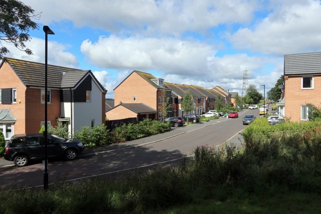
Image: © Andrew Curtis Taken: 11 Jul 2020
Lemington, Bell’s Close and Sugley were adjacent villages which developed in the nineteenth century around the new industries which took advantage of the coal and clay deposits as well as the nearby water transport on the River Tyne. They were all part of the parish of Sugley. In the sixteenth century there was a Lamedon Mill and a Lamedon House and in 1638 the staithes at Lemendon are recorded. There was also a brickyard, tileshed, blacking factory and boatyard at Bell’s Close at this time.
Images are licensed for reuse under creativecommons.org/licenses/by-sa/2.0
Image Location
Latitude
54.980905
Longitude
-1.721535