Bowen Gardens, Monmouth
Introduction
The photograph on this page of Bowen Gardens, Monmouth by Jaggery as part of the Geograph project.
The Geograph project started in 2005 with the aim of publishing, organising and preserving representative images for every square kilometre of Great Britain, Ireland and the Isle of Man.

There are currently over 7.5m images from over 14,400 individuals and you can help contribute to the project by visiting https://www.geograph.org.uk
Bowen Gardens, Monmouth
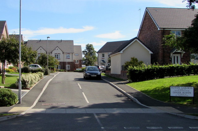
Image: © Jaggery Taken: 12 Jul 2020
Cul-de-sac on the northeast side of the road named Kings Fee. The houses were built in the second decade of the 21st century. The sign on the right shows BOWEN GARDENS LEADING TO TREVOR BOWEN HOUSE. The sign text is also in Welsh.
Images are licensed for reuse under creativecommons.org/licenses/by-sa/2.0
Image Location
Latitude
51.808715
Longitude
-2.725466