Parkland at Sea Mills
Introduction
The photograph on this page of Parkland at Sea Mills by David Purchase as part of the Geograph project.
The Geograph project started in 2005 with the aim of publishing, organising and preserving representative images for every square kilometre of Great Britain, Ireland and the Isle of Man.

There are currently over 7.5m images from over 14,400 individuals and you can help contribute to the project by visiting https://www.geograph.org.uk
Parkland at Sea Mills
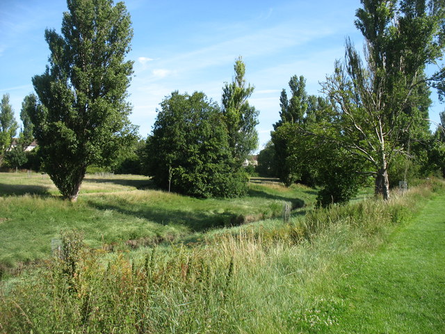
Image: © David Purchase Taken: 12 Jul 2020
The River Trym flows in the channel ahead. It is a fairly modest stream, but the River Avon (a short distance away to the left) can sometimes send surges up the channel at very high tides.
Images are licensed for reuse under creativecommons.org/licenses/by-sa/2.0
Image Location
Latitude
51.482063
Longitude
-2.647689