Borrowdale House
Introduction
The photograph on this page of Borrowdale House by Gordon Hatton as part of the Geograph project.
The Geograph project started in 2005 with the aim of publishing, organising and preserving representative images for every square kilometre of Great Britain, Ireland and the Isle of Man.

There are currently over 7.5m images from over 14,400 individuals and you can help contribute to the project by visiting https://www.geograph.org.uk
Borrowdale House
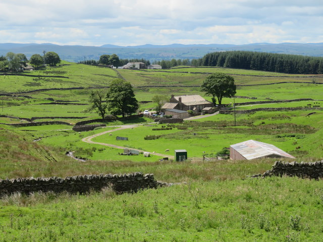
Image: © Gordon Hatton Taken: 11 Jul 2020
Farmhouse on the hillside to the east of Brough. The yellow road that passes by is a bit of a trial for a driver without passengers as there are 3 gates to open and close.
Images are licensed for reuse under creativecommons.org/licenses/by-sa/2.0
Image Location
Latitude
54.537005
Longitude
-2.261926